Drones are Making a Big Impact on Solar Project Surveying
From drones and bleeding-edge technology to the end-to-end processes that drive efficiency, modern construction is undergoing a renaissance. Host Shaun MacIntosh talks with the top leaders in construction and provides unmatched insights into the industry that quite literally built the world around us.
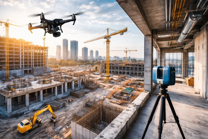
Drones are revolutionizing surveying, enabling faster, less costly topographic data than ever before. Diving into this topic on the show, host Shaun MacIntosh welcomed Akash Chaudhari, project manager for Bradley Construction. Also joining the conversation was co-host Matt Gendron of Propeller Aero.
MacIntosh and Gendron first met Chaudhari when he was a project manager for Strata Solar, a provider of turnkey solutions for solar projects. The company was already using drones for infrared scanning but soon found they had more applicable solutions for solar surveying. The relationship between Propeller and Strata took off from there.
“These are massive projects, and you’re balancing safety, quality, budget, and schedule. Technology like drones can help with this,” Chaudhari said.
Before drone usage, equipment and people were necessary, which was time-intensive and costly. The company began to adopt the use of drones beyond just thermal imagery. “We started to understand the capabilities of Propeller and what was possible. We could take the data from drones and overlay it with CAD files to understand progress and speak in specifics to what problems were and start solving them,” he noted.
The drones helped them make adjustments in real-time by collecting more data. Some of those contain millions of points of data, something not feasible with traditional methods. “People doing the surveying could hit maybe 1,000 points of data a day. How long would it take them to hit millions?” Chaudhari added.
The most critical aspect that drones brought to the projects was the quality control factor. “We could check current contours and adjust in the moment before it was too late,” Chaudhari said.
The benefits of systems talking to each other made all the difference as well, aggregating CAD files, drone data, and site data for a holistic view. Drones certainly offer significant advantages in surveying and certainly far exceed the label of “toy.”


