Why Baseline Surveying uses X-PAD field software for road work

May 26, 2023
MarketScale

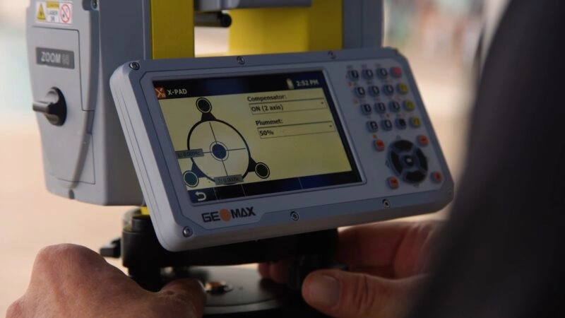
X-PAD Ultimate field software, from GeoMax, has increased productivity for Baseline Surveying by 15-20% because of how easy it is to use and its intuitive design that works like a surveyor thinks.

They use multiple commands in the X-PAD software road module for tasks such as horizontal and vertical alignments, super elevation, road widening, cross sections supplied by engineers, typical templates, and more. The firm recently completed a three-year project realigning a major highway through the Black Hills of South Dakota, using X-PAD field software.

For the professional surveyors at Baseline Surveying, the switch to X-PAD Ultimate has been wonderful and the field software has been a joy to use.

Recent Episodes

View episode

The new Zoom95 robotic total station, from GeoMax, is faster, more accurate and will make your job easier than ever before. This flagship total station features a larger WVGA display, faster processor, more data storage, multiple on-board software options, built-in Wi-Fi, and an additional long-range Bluetooth handle for a consistent, reliable connection, even on your […]

View episode

GeoMax delivers a full line of high-quality construction measurement products. We manufacture manual and robotic total stations, GPS/GNSS receivers, rotating lasers, pipe lasers and more. See what benefits some of our most popular instruments have to offer you on the job as we dive into the specs of our Zone60 DG rotating laser, our Zoom90 […]

View episode

There are many reasons to become a GeoMax dealer. From working with a trustworthy team to having confidence in the performance of products like X-PAD software and the Zenith35, these US dealers share their experiences working with GeoMax products and staff.