Articles by tag: Down to Earth
The Pearl River cuts through the heart of Jackson, Mississippi, and also provides drinking water to hundreds of thousands of residents. However, the water source can also pose a threat to the local community when the levels flood. In this second episode of Down to Earth: Land, Sea, and Air by Microdrones, the Mississippi D-O-T […]
Latest
Articles
Using Drone LiDAR to Complete an As-Built Survey
Rome, NY- Traditionally, the documentation of As-Built construction surveys relied on conventional methods such as total stations and digital photogrammetry. However, the team at Spatial Data Consultants (SDC), an expert geospatial consulting firm in High Point, North Carolina, is using drone LiDAR technology to more efficiently create accurate and precise As-Built Surveys. CLICK HERE and […]
Articles
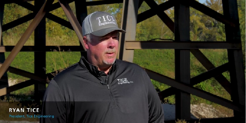
Drone LiDAR Documentary Show Makes Some Waves in the Louisiana Marsh
Rome, NY- Down to Earth, a surveying reality series, journeys into the remote wilderness of the Southern Louisiana wetlands, to follow surveying and engineering firm, Morris P. Hebert, Inc. (MPH,) as they use drone surveying equipment from Microdrones to verify fill levels in a marsh restoration project. The next 3 new episodes are set to […]
Articles
Drone LiDAR and Surveyor Reality Series, Down to Earth, Returns with New Construction Episodes
Rome, NY- “Down to Earth,” a surveying reality series that shows how real surveyors collect data and turn it into real deliverables, despite challenging conditions, rugged terrain and hidden dangers, is set to premiere 3 new construction oriented episodes Wednesday, March 31, 2021. Viewers can register to watch at either 9am ET, 6pm ET, or […]
MarketScale Mornings
The Power of Original B2B Content: MarketScale Mornings
On the latest episode of MarketScale Mornings, Voice of B2B Daniel Litwin and host Taylor Raglin sat down for a discussion on all things original B2B content. In particular, the discussion turned to narrative-based content, such as the new Microdrones series, Down to Earth. Litwin and Raglin were joined by Matt Rosenbalm, Microdrones Sales Manager, […]
Articles
New UAV Surveying Reality Series – Down To Earth
IT’S TIME TO STEP OUT OF THE OFFICE AND INTO THE FIELD “Down to Earth” is a new reality series revealing the challenges and hazards that surveying crews face while determining points on the surface of the Earth and measuring the distances between them. Presented by Microdrones, the series will also showcase the powerful data […]
Latest

EdTech Solutions Need to Design Learning Environments Students Crave to Reduce Absenteeism
A recent TIME feature showcasing the world’s top edtech companies offers a glimpse into the innovations shaping education globally. Companies from Singapore, the UK, Brazil, China, and the U.S. are at the forefront, demonstrating the pivotal role educational technology plays in transforming learning environments. This shift is particularly timely, as the COVID-19 pandemic has […]

Challenge Your Industry
In today’s competitive landscape, simply meeting industry standards is insufficient for long-term success. Businesses must strive to exceed these benchmarks by creating unique and memorable customer experiences, as demonstrated by companies like Netflix and Shoreline Construction. Netflix transformed the movie rental industry by challenging conventional practices. Instead of requiring customers to visit stores and […]

Balancing Business and Personal Well-being: Insights from Kathryn Farrell on Growthwell
In the latest episode of the Growthwell podcast, host Josh Byrd engages with Kathryn Farrell, CEO and Co-Founder of Scopa Health, in a thought-provoking discussion on maintaining a healthy balance between business and personal well-being. This conversation provides the setting against a backdrop where business leaders increasingly recognize the importance of well-being alongside professional […]

Excellence Culture – Chad Coleman – Dude Perfect
There are many talented people involved in creating the massive influence of Dude Perfect. One of those people and one of the behind the scenes leaders is Chad Coleman. In this episode, Chad shares some of the great experiences he’s had through the years, along with a great story of risk taking and the fruit […]