How Drone Technology Keeps Food on the Table: A Look at Drones in the Agricultural Space
InterDrone 2018 took place in Las Vegas this month, and MarketScale was on hand to talk with many industry leaders. One of the top cross-industry drone conferences was again a success, and attendees connected with others in the field and had access to workshops, panels, and special events. Two attendees this year shed some light on an important intersection of industries—drones in agriculture.
Uzayr Siddiqui, Founder, and CEO of DroneEntry, a young startup, explains how his company’s platform connects drone pilots to professional projects. A sort of career social media for drone pilots, DroneEntry aims to fit the right pilot with the right project while serving the needs of both ends of the relationship. The various components on the site’s dashboard allow users to customize information regarding pilot competency, types of drones, and project descriptions. DroneEntry wants to help pilots build a strong portfolio, using industry-standardized metrics to offer a proficiency score. The platform hopes to encourage pilots to seek more training and round out their resume by offering an honest view of where they stand. Their focus is highly agricultural, as farmers are a primary user of drone technology, and it is critical that growers have access to the best pilots for their various needs.
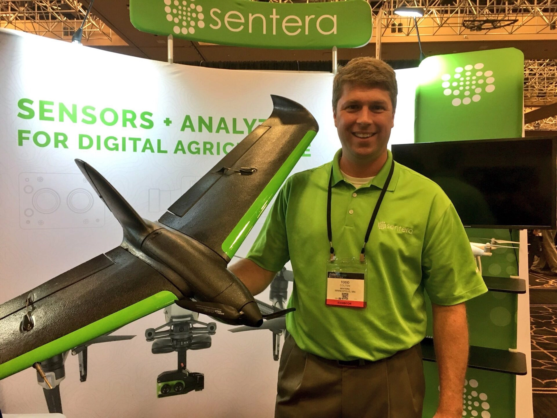
Todd Colten, Chief Aerospace Engineer for Sentera, echoes those notions and discusses these needs. Sentera develops and builds drones and drone parts, and Colten runs the engineering team, which integrates various camera applications for the drone. When it comes to the agricultural space, he explains, pilots need proper training and certification, a thorough understanding of the intricacies of surveying crops, and strong data management expertise. At the junction of drone technology and agriculture is the vital need for reliabl e data. A pilot must be able to take good photographs that can also be broken into helpful zones with critical information about the details of each section of land. Sentera equips drone cameras used in the agriculture space with an NDVI (normalized difference vegetation index) sensor that sees wavelengths of plant light that gives data about that plant. The sensor measures vegetation health at the cell level. It then assigns values to each pixel and compares those values over time to determine a crops’ health and growth. The data received is used to create individualized software for the grower’s equipment, including robotic tractors, in order to meet the specific needs of that farm.
Companies like these work together at the intersection of agriculture and technology and reflect the need for strong data management and professional proficiency for both to flourish. You can learn more about these companies by visiting the websites for DroneEntry and Sentera today.


