Articles by tag: Mike Dziok Podcast
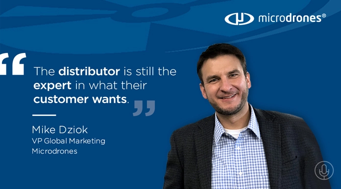
Drones aren’t toys; they’re solutions. On this episode of the Propelling podcast, host Daniel Litwin sat down with three Microdrones team members for an in-depth discussion on drone distributorships, branding, and the tremendous marketing opportunity that exists for third-parties looking at drones to ride the wave into the future. Today’s show features Director of…
Latest
Podcast Network
Propelling: How to Maximize Crowdsourced Content for You and Your Crowd
Developing content and telling great stories has become a fundamental pillar for modern marketing. While developing content in-house is a major function of marketing teams, crowdsourced content is integral too, connecting to audiences in really personal way. That’s exactly what the team at Microdrones is doing, using stories from their B2B end-users and distributors…
Podcasts
DRONES OVER THE LAND DOWN UNDER: LATEST PROPELLING PODCAST AVAILABLE NOW!
Darren Wilkinson is the Sales Manager for Microdrones in Australia, New Zealand and Papua New Guinea. On this episode of Propelling, the Microdrones podcast, Elmer Guardado and Mike Dziok take the conversation across the Pacific to speak with Darren about the drone business in his region. Darren discusses drone market trends, his methodology for building…
Podcasts
Listen: Exploring the Cost Benefits of Drone Usage with Mike Dziok
On today’s podcast, we chat with Mike Dziok from Microdrones. We discuss how the introduction of drone technology is not a replacement for actual surveyors, and how they established a partnership for distribution. For more information on Microdrones, be sure to check out – microdrones.com For the latest news, videos, and podcasts in the…
AEC
Drones Are Mapping The Future with Chuck Dorgan of Microdrones
On this episode of the AEC podcast, we have Mike Dziok & Chuck Dorgan from Microdrones on the show talking about the future of surveying technology. Drones have many uses today, but one of the most commercially viable applications is how they are improving mapping, land surveying, and precision agriculture.
Latest

Leverage Data-Driven Tools and Local SEO for Maximum Search Engine Rankings
As businesses continue to navigate the digital landscape, data-driven tools are more crucial than ever for effective SEO strategies. Understanding and implementing the proper SEO practices can make a significant difference with evolving algorithms and competitive markets. Given that 75% of users never scroll past the first page of search results, this statistic underscores…

On-Device AI is Today’s Tech Innovation, Competition and Market Leadership Driver
On-device AI revolutionizes the tech landscape, making it a critical factor for industry dominance. This cutting-edge technology directly integrates advanced AI capabilities into devices, transforming consumer and enterprise applications. This shift stems from the need for improved performance, reduced latency, enhanced data privacy & security, and personalized user experiences. With advancements in neural processing…

The Role of AI in Modern Supply Chains: Insights from Aaron Hatfield at Arvist
Artificial intelligence rapidly transforms modern supply chains, with companies like Arvist leading the charge. In a recent episode of Hammer Down, hosted by Mike Bush, Aaron Hatfield, the Head of Sales at Arvist, sheds light on AI’s practical applications and benefits in enhancing supply chain operations. Is AI in the supply chain a double-edged…

Training New Semiconductor Manufacturing Professionals is Key to Meet Coming Domestic Manufacturing Demand
Over the past few years, the U.S. has made significant strides in semiconductor manufacturing, driven by substantial investments and strategic policies. With the CHIPS Act expected to triple domestic semiconductor manufacturing capacity by 2032, the need for a skilled workforce is more urgent than ever. This discussion explores the key question: What does the…