You searched: microdrones
LETEL Gains the Aerial Advantage with Drone LiDAR Technology from GeoCue
See How LETEL Stands Out with Industry-Leading Surveying Services in New Episodes of the Drone Surveying Reality Series Down to Earth. Buchanan, GA- GeoCue, announces the premiere of the latest episodes of its award-winning drone surveying reality series, Down to Earth. The new episodes highlight LETEL, a leader in civil engineering, drone technology, LiDAR, and…
Software & Technology
Down to Earth: Point Clouds to Paradise – Episode 3
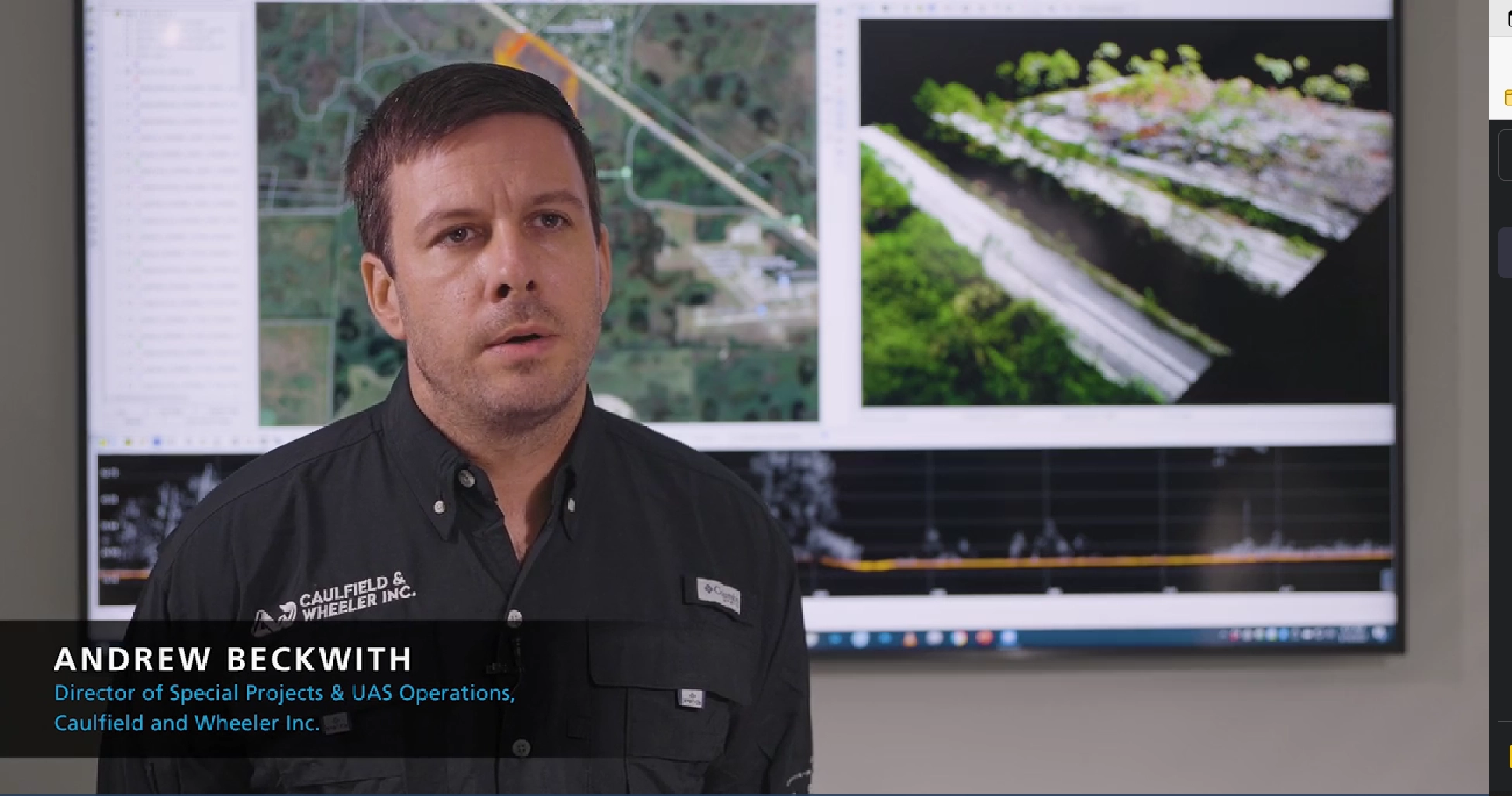
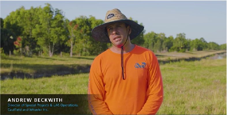
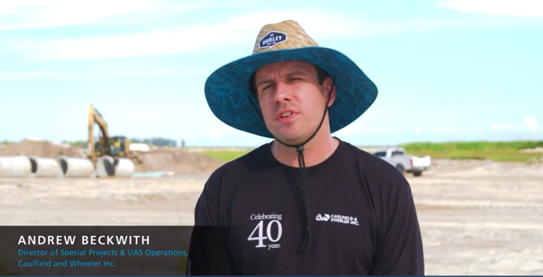
Caulfield & Wheeler, Inc. is celebrating 40 years of providing professional civil engineering, planning, land surveying, and landscape architecture services throughout Southeastern Florida. They pride themselves on utilizing the most recent technology available on the market, to maintain their competitive edge in order to provide clients with the most proficient and cost-effective designs using point…
Software & Technology
Down to Earth: Point Clouds to Paradise – Episode 2
Caulfield & Wheeler, Inc. is celebrating 40 years of providing professional civil engineering, planning, land surveying, and landscape architecture services to make Southeastern Florida a paradise. They pride themselves on utilizing the most recent technology available on the market, to maintain their competitive edge in order to provide clients with the most proficient and cost-effective…
Software & Technology
Down to Earth: Point Clouds to Paradise – Episode 1
Caulfield & Wheeler, Inc. is celebrating 40 years of providing professional civil engineering, planning, land surveying, and landscape architecture services and making Southeastern Florida a paradise. They pride themselves on utilizing the most recent technology available on the market, to maintain their competitive edge in order to provide clients with the most proficient and cost-effective…
Software & Technology
Down to Earth: Land, Sea, and Air – Episode 3
The Pearl River cuts through the heart of Jackson, Mississippi, and also provides drinking water to hundreds of thousands of residents. However, the water source can also pose a threat to the local community when the levels flood. In this third episode of Down to Earth: Land, Sea, and Air by Microdrones, Mississippi D-O-T is…
Software & Technology
Down to Earth: Land, Sea, and Air – Episode 2
The Pearl River cuts through the heart of Jackson, Mississippi, and also provides drinking water to hundreds of thousands of residents. However, the water source can also pose a threat to the local community when the levels flood. In this second episode of Down to Earth: Land, Sea, and Air by Microdrones, the Mississippi D-O-T…
Software & Technology
Down to Earth: Land, Sea, and Air – Episode 1
The Pearl River cuts through the heart of Jackson, Mississippi, and also provides drinking water to hundreds of thousands of residents. However, the water source can also pose a threat to the local community when the levels flood. In this episode of Down to Earth: Land, Sea, and Air, a Microdrones podcast, Mississippi D-O-T is…
Software & Technology
Teeing Up an Abandoned Golf Course For Development with Drone Surveying
MP Design Group uses drone LiDAR technology to begin the redevelopment process. Rome, NY- The greens are overgrown, the fairways are now part of the rough, and the tee boxes are extinct at an abandoned golf course in Biloxi, Mississippi. That’s why the team at MP Design Group was hired to create a feasibility study…
Software & Technology
Unlocking BVLOS: Expanding Drone Use Cases to New Horizons
As of 2022, the regulations in place monitoring and restricting drone operations within the U.S. air space have become a hindrance to maximizing the benefits of current drone technology. BVLOS, otherwise known as beyond the line of sight, flights are difficult, if not, nearly impossible to execute despite the potential for these flights to truly…
Engineering & Construction
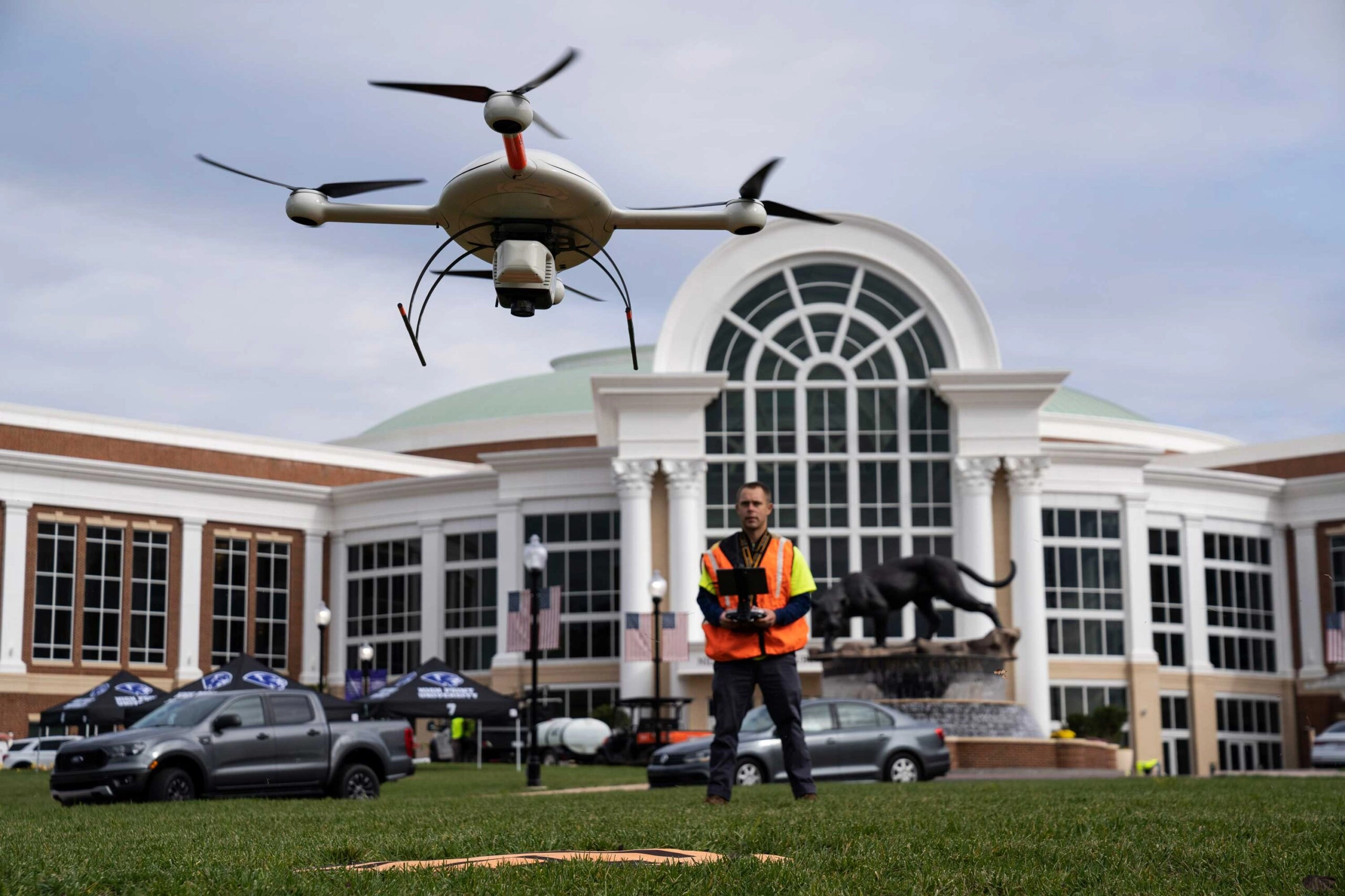
Using Drone LiDAR to Complete an As-Built Survey
Rome, NY- Traditionally, the documentation of As-Built construction surveys relied on conventional methods such as total stations and digital photogrammetry. However, the team at Spatial Data Consultants (SDC), an expert geospatial consulting firm in High Point, North Carolina, is using drone LiDAR technology to more efficiently create accurate and precise As-Built Surveys. CLICK HERE and…
Software & Technology
mdGroup Acquires GeoCue Group
Rome, NY- mdGroup, parent company of Microdrones, has acquired GeoCue Group, Inc. (“GeoCue”) from its founders for an undisclosed amount. A pioneer in aerial LiDAR mapping technology, GeoCue primarily serves the U.S. mapping, surveying, and engineering industry through its TrueView line of drone LiDAR/Imaging sensors and LiDAR data processing software TrueView EVO/LP360. GeoCue designs, develops,…
Software & Technology
Microdrones CEO Discusses New Alliance with GE
Both pilots and companies are navigating a thin line between security and innovation. Host Grant Guillot talks with leaders, influencers, and experts across the drone industry to guide us through the complex web of technology and policy in the United States. Microdrones and GE recently entered into a partnership, which will see Microdrones bring GE’s Industrial…

Software & Technology
Microdrones and GE Launch the GE Industrial Drone Line
July 7, 2021 Rome, NY- GE and Microdrones have entered into a worldwide licensing partnership, where Microdrones will bring the GE industrial drone line to market globally, providing professionals access to powerful aerial surveying technology that will enable them to work more efficiently, accurately, safely and profitably. The GE industrial drone line brings together two…

Uncategorized
Congratulations to the 2021 Telly Award Winners!
The world of B2B has permanently shifted. Companies are creating holistic, owned media channels, powerful narratives and engaging, educational content – and the recently announced 2021 Telly Awards prove it! Let’s take a look at the 2021 Telly Award-winning content produced by MarketScale and who helped bring it to life. Silver Telly, Campaign-Series:…
Software & Technology
Drone LiDAR Documentary Show Makes Some Waves in the Louisiana Marsh
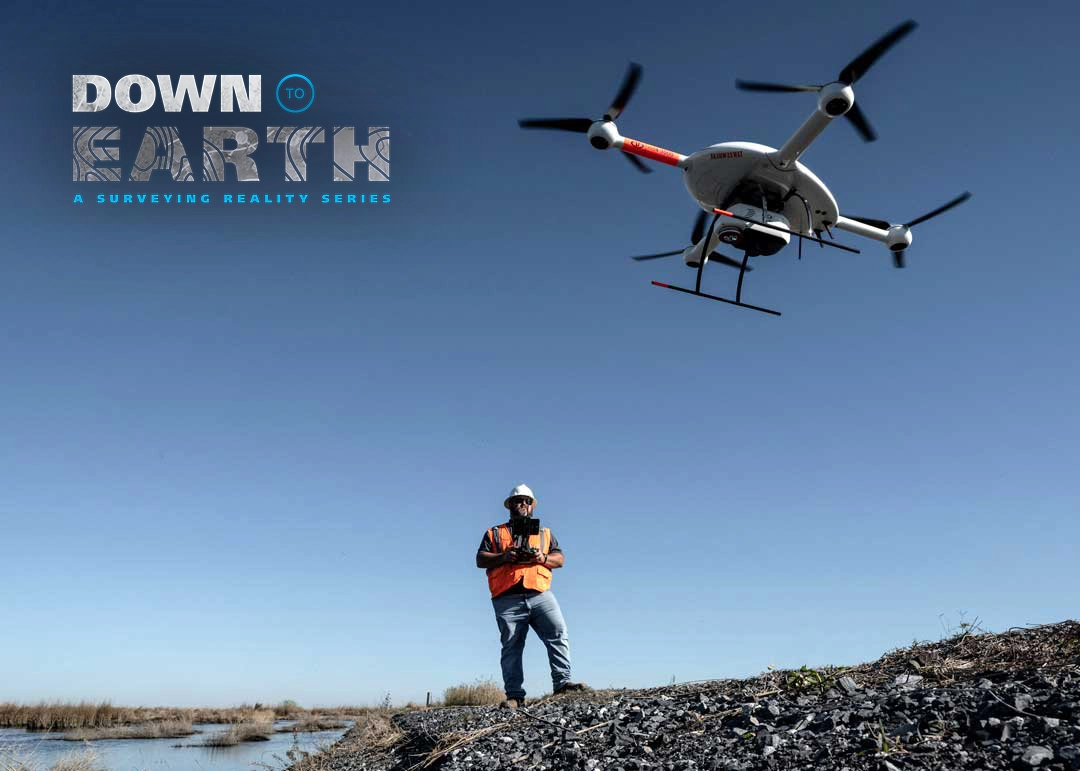
Rome, NY- Down to Earth, a surveying reality series, journeys into the remote wilderness of the Southern Louisiana wetlands, to follow surveying and engineering firm, Morris P. Hebert, Inc. (MPH,) as they use drone surveying equipment from Microdrones to verify fill levels in a marsh restoration project. The next 3 new episodes are set to…
Software & Technology
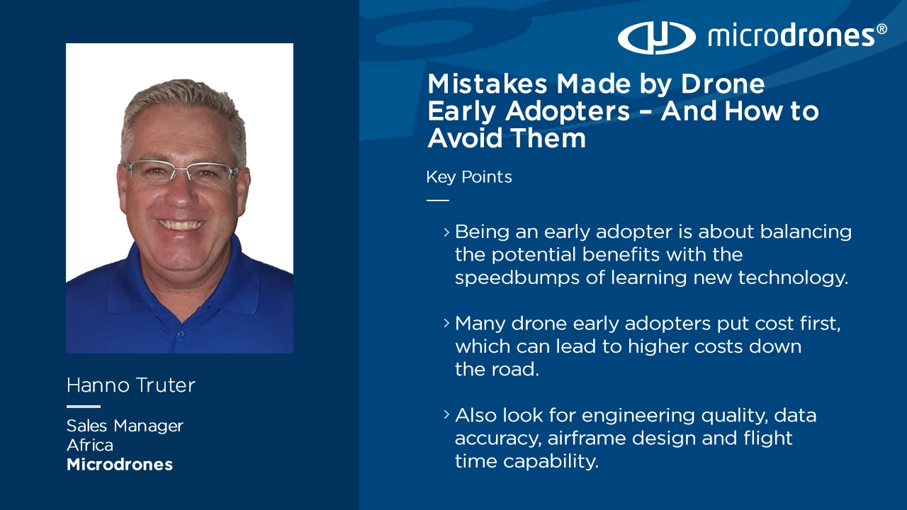
Propelling: Mistakes Made by Drone Early Adopters – And How to Avoid Them
Drones are here to stay, with UAVs and other solutions making surveying, imaging and a variety of other tasks much simpler. This can bring a wide range of benefits to your organization – provided you can avoid common pitfalls drone early adopters face. On this episode of Propelling from Microdrones, host Shelby Skrhak was…
Engineering & Construction
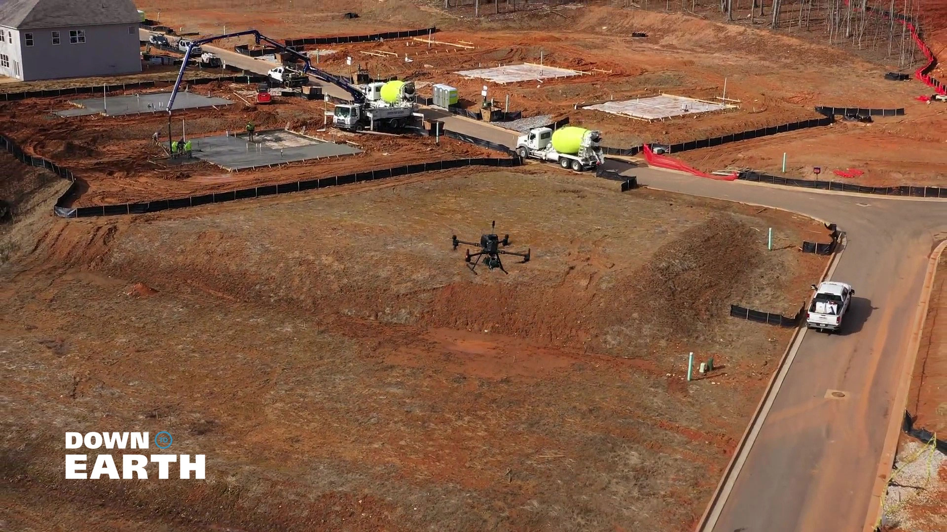
Drone LiDAR and Surveyor Reality Series, Down to Earth, Returns with New Construction Episodes
Rome, NY- “Down to Earth,” a surveying reality series that shows how real surveyors collect data and turn it into real deliverables, despite challenging conditions, rugged terrain and hidden dangers, is set to premiere 3 new construction oriented episodes Wednesday, March 31, 2021. Viewers can register to watch at either 9am ET, 6pm ET, or…

The Weekly Scale: March 8th 2021
This week at MarketScale, we launched sweets across a river, held the virtual pre-game for SXSW EDU, and set the menu for this week’s round table. Fire up the VPN, it’s the start of a new week and it’s time to scale up. Is a drone absolutely necessary in survey and mapping work? Well…